Shira Route
While the Shira Route offers breathtaking scenery and diverse landscapes, it is considered slightly less favorable than Lemosho because it starts at a much higher elevation. The trailhead, reached directly by vehicle, begins at around 11,800 feet. As a result, some trekkers may experience mild altitude symptoms on the very first day due to the rapid ascent.
The trail approaches Kilimanjaro from the western side, starting with a long drive from Moshi to Shira Ridge. Unlike other routes, this drive skips the lush rainforest zone, and the trek begins immediately on the Shira Plateau. The route then crosses the vast and stunning Shira plateau from west to east, offering a relatively gentle and scenic hike. It later connects to the Southern Circuit, passing beneath Kilimanjaro's magnificent Southern Ice Field, before leading to the summit via Barafu Camp.The descent is made along the Mweka Route.
Kilitrips provides this trail as either a 7-day or 8-day private expedition. The extended 8-day version includes an overnight stay at Moir Hut on the third day,followed by a trek to Barranco Camp on the fourth day, allowing for better acclimatization and a more relaxed pace.
What is the length of the Shira Route?
The Shira Route covers a total distance of 56 kilometers, which is roughly equivalent to 33 miles.
Is it hard to climb Kilimanjaro on the Shira Route?
The Shira route is regarded as a moderately challenging trail. Its primary drawback is that it begins at a high elevation of around 11,500 feet, which can pose acclimatization difficulties for climbers who are not yet adjusted to the altitude.
Is it possible to climb Kilimanjaro successfully on the Shira Route?
The estimated success rates for the Shira Route are approximately 55% for the 6-day itinerary, 75% for the7-day option and 85% for the 8 day trek.
What is the estimated cost to climb Kilimanjaro on the Shira Route?
The cost of climbing Mount Kilimanjaro on the Shira route depends on the duration of the trek.
7 day Shira Itinerary
Elevation: 11,800 ft to 11,800 ft
Hiking Time: 1-2 hours
Distance: 4 Km ( 2 miles)
Habitat: Heath
We leave Moshi and drive to Londorossi Gate,a journey of about four hours. After completing the necessary registration formalities, our guides and porters organise the gear. From there, we continue along a steep trail to Shira Gate, the starting point of our trek. The hike begins through lush shrubs and towering heather, leading us to our first stop Simba Camp.
Elevation: 11,800 ft to 12500ft
Hiking Time: 2 hours
Distance: -6 Km ( 4 miles)
Habitat: Heath
This day’s trek is relatively easy, allowing time for proper acclimatization . We start by exploring the grassy moorlands and fascinating volcanic rock formations spread across the plateau. The trail then leads us along a scenic route to the Shira Cathedral- a striking rock formation surrounded by towering spires and rugged pinnacles- before we continue on to our campsite at Shira 2 Camp.
Shira 2 Camp to Lava Tower
Elevation: 12,500 ft to 15,190ft
Hiking Time: 4-5 hours
Distance: 7 Km ( 4 miles)
Habitat: Alpine Desert
Lava Tower to Barranco Camp
Elevation: 15,190ft to 13,044 ft
Hiking Time: 2- 3 hours
Distance:7 Km ( 4 miles)
Habitat: Alpine Desert
We trek eastward up a ridge before turning southeast toward the impressive Lava Tower, a 300-foot volcanic rock formation. From there, we descend through the unique and picturesque Senecio Forest to reach Barranco Camp at an altitude of 13,000 feet. Though the day starts and ends at the same elevation, the time spent at higher altitude greatly aids in acclimatization.
Elevation:13,044 ft to 13,106 ft
Hiking Time: 4-5 hours
Distance:5 km ( 3 miles)
Habitat: Alpine Desert
We start the day by descending into a deep ravine at the foot of the Great Barranco Wall. From there, we make a challenging yet non-technical climb up the steep 900- foot cliff. Once at the top, the trail continues over a series of ridges and valleys before dropping sharply into the Karanga Valley. A final step ascent brings us to Karanga Camp. This relatively short day is designed to aid with acclimatization.
Barafu Camp to Uhuru Peak
Elevation: 13,106 ft to 15,331 ft
Hiking Time: 4- 5 hours
Distance: 4 Km ( 2 miles)
Habitat: Alpine Desert
We depart from Karanga and head toward the junction that links up with the Mweka Trail. The route then ascends through rocky terrain until we reach Barafu Hut. At this point, the Southern Circuit is complete,offering stunning views of the summit from multiple perspectives. Here, we set up camp, rest and have an early dinner in preparation for the upcoming summit day. From this spot, both Mawenzi and Kibo peaks are clearly visible.
Barafu Camp to Uhuru Peak
Elevation: 15,331 ft to 19,341 ft
Hiking Time: 6- 8 hours
Distance:5 Km ( 3 miles))
Habitat:Arctic
Uhuru Peak to Mweka Camp
Elevation: 19,341 ft to 10,065 ft
Hiking Time: 4- 6 hours
Distance:12 Km ( 7 miles)
Habitat:Rain Forest
In the early hours of the morning ( around midnight), we begin our final ascent toward the summit. This is the most demanding part of the entire trek- both mentally and physically. The wind and cold at this altitude can be intense, and we climb steadily through the darkness, taking short but frequent breaks. As we approach Stella Point ( 18,900 ft), we are greeted by a breathtaking sunrise over Mawenzi Peak- a moment that makes every step worthwhile. From there, we continue to Uhuru Peak, the highest point on Mount Kilimanjaro and the entire African continent.
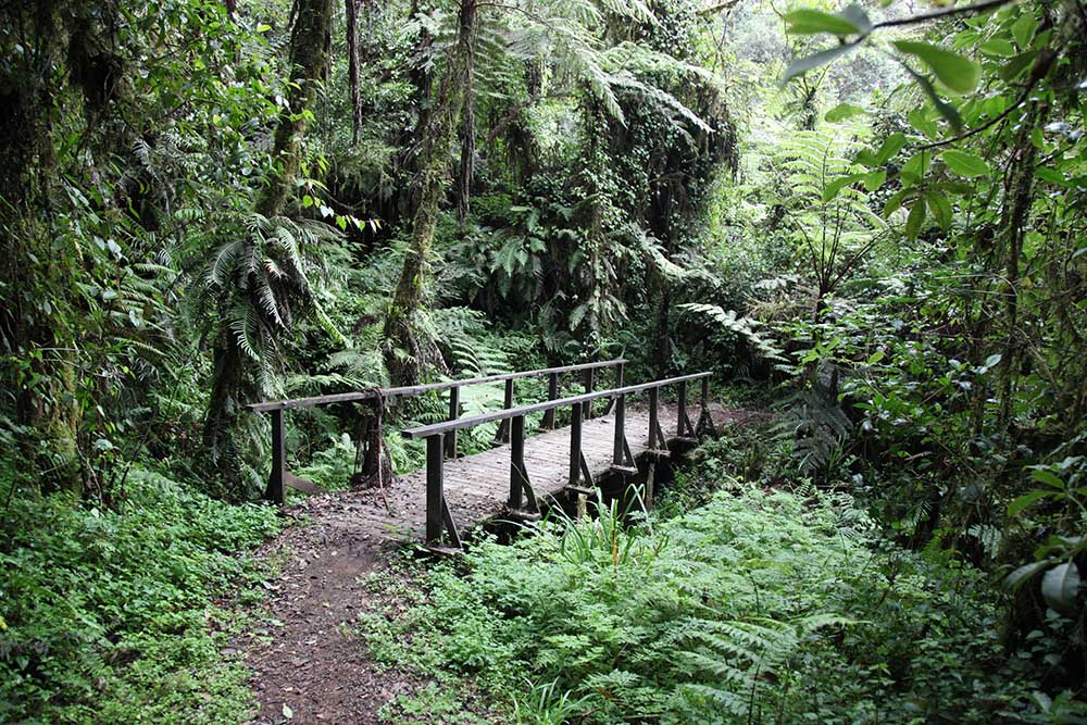
After celebrating our achievement, we begin the long descent, heading straight down to Mweka Hut Camp, with a stop at Barafu for lunch. The trail is rocky and can be tough on the knees, so trekking poles are highly recommended. Mweka Camp lies within the upper forest zone, where mist or rain is common in the afternoon. In the evening, we enjoy our final dinner on the mountain and well-deserved rest.
Elevation: 10,065 ft to 5,380 ft
Hiking Time: 4- 6 hours
Distance:12 Km ( 7 miles)
Habitat:Rain Forest
On the final day of our journey, we descend toward Mweka Gate to receive our well-earned summit certificates. As we move to lower elevations, the trail often becomes wet and muddy. At Mweka village, our vehicle awaits to take us back to the hotel in Moshi for a well-deserved rest.